Home » FAQ
FAQ
Have a question? We have answers! Check out these FAQs and give us a call today for more information.
Our surveying team provides a full range of commercial and residential services, including construction staking, impervious surface surveys, boundary surveys, ALTA/ACSM surveys, transmission line locations, topographic surveys, subdivision design, planned unit developments, GPS surveys, cemetery designs, CIC plats, aerial control, easement and description drafting, concept plans, wetland locations, township planning, renewable energy projects, and wind energy staking. We are also experienced farm property surveyors.
Our recent merger with JSD Professional Services affords our team the opportunity to also offer civil engineering services. From the development of vacant land to the redevelopment of urban spaces, we can now offer complete professional assistance in civil engineering from concept through design and construction. Our approach begins with understanding the objectives of developers, municipalities, and those utilizing the final development, and then carrying out a complete initial review with data gathering to provide conceptual and preliminary planning.
According to the U.S. Bureau of Labor Statistics, there are currently more than 45,000 professional surveyors in the U.S. What sets us apart as property surveyors are our experience, services, and commitment to our customers. For over 30 years, we’ve been providing quality, reliable, and prompt service, including as farm property surveyors. As a family-owned and operated business, we believe in building strong, lasting relationships with our clients. Our property surveyors use the latest, state-of-the-art equipment to maximize accuracy and increase efficiency.
We proudly service the entire state of Minnesota, and with our recent merger with JSD Professional Services, we also offer civil engineering services throughout Minnesota and our neighboring states! Contact us today for a free estimate.
ALTA/ACSM is a surveying standard jointly proposed by the American Land Title Association and the American Congress on Surveying and Mapping. These surveys incorporate elements of the boundary survey, mortgage survey, and topographic survey. If you are looking for experienced land survey companies to help you with this process, request a free estimate today.
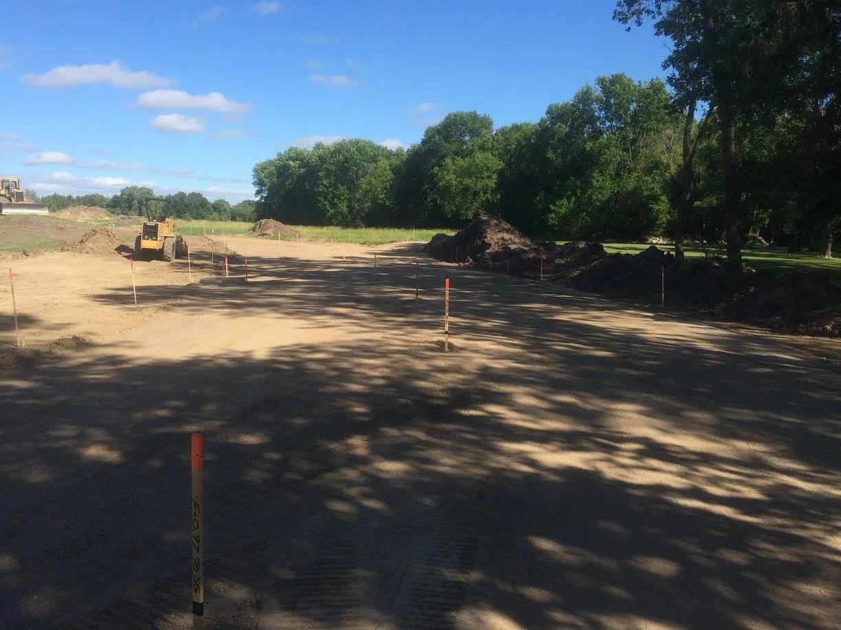
Construction staking involves the survey of existing conditions of the future work site. This includes topography, existing buildings and infrastructure, and underground infrastructure when possible. The process also stakes the proposed location and elevation of underground utilities such as storm sewer, sanitary sewer, and water main. Whether you’re planning new construction or remodeling a newly acquired structure, we are one of the most committed land survey companies and will help you from the planning stage through your entire project.