Home » Land Surveying
Land Surveying
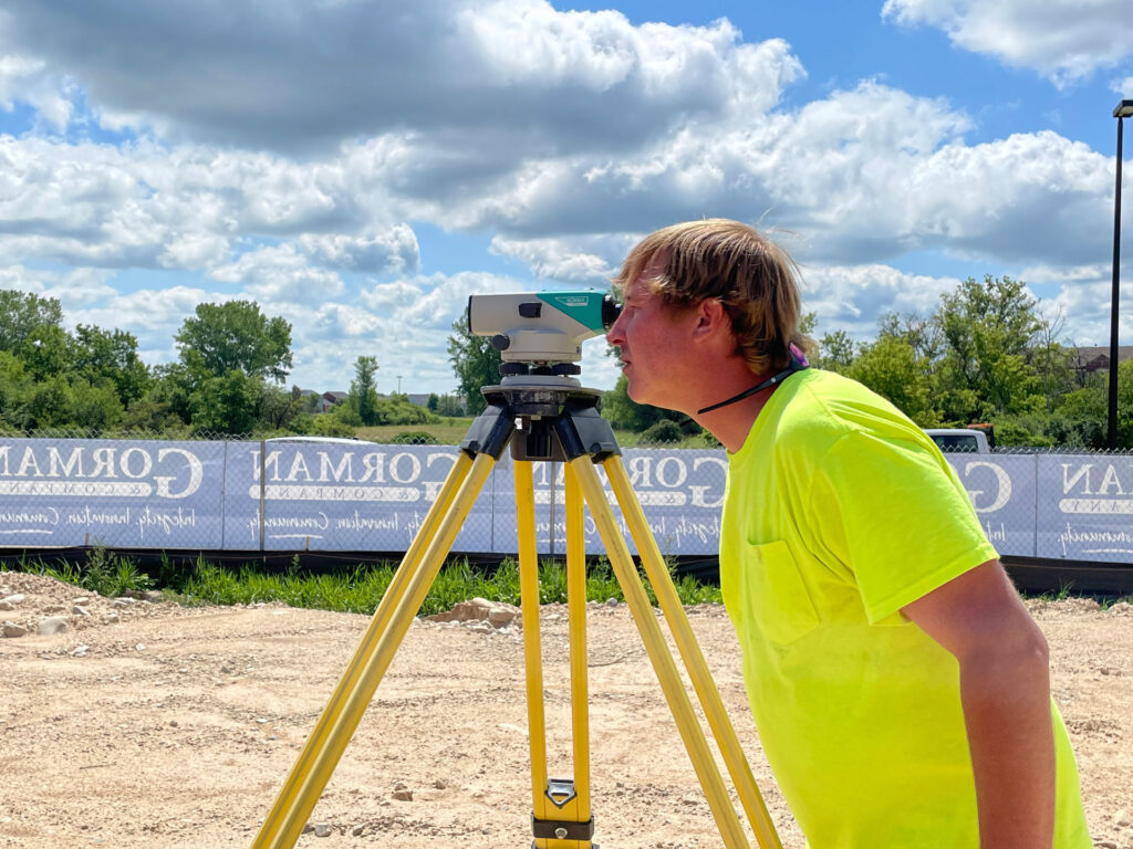
Prompt Surveys for All Types of Land and Property
Stoeckel Jahner Land Surveying proudly provides a wide variety of surveying services for the entire state of Minnesota. For accuracy, we utilize the latest in surveying tools and equipment, including GPS (Global Positioning System), Robotic Total Station, and AutoCAD Software. We’ve served clients throughout Minnesota for over 30 years.
We are proud of our relationships with each of our clients and look forward to working with you on your project. Call us today for a free estimate! We respond to all inquiries within 24 hours.
Our Professional Services Include:
- Construction staking
- ALTA/ACSM surveys
- Impervious surface surveys
- Boundary surveys
- Transmission line locations
- Topographic surveys
- Subdivision design
- Planned unit developments
- GPS surveys
- Cemetery designs
- CIC plats
- Aerial control
- Easement and description drafting
- Concept plans
- Wetland locations
- Farm site surveys
- Township planning
- Renewable energy projects
- Wind energy staking
Explanations of Our Common Surveys
Boundary Surveys
Whose tree is that? How much land do I have? Do I own that fence? Is he farming my land? These are common questions we are asked that can be answered with a boundary survey. We will determine and identify your boundary lines with a boundary survey. Once we complete the boundary survey you will be provided with a Certificate of Survey, which is a scaled map of your property showing your property lines, buildings, encroachments, and any other necessary items.
Subdivision Design
We have many years of experience in the subdividing of urban and rural areas. We can assist on small, single lot subdivisions or larger developments containing residential, planned unit developments, common interest communities, apartments, and commercial development.
Impervious Surface Studies
Impervious Surface Calculations are an essential component in the planning of building and remodeling projects. Impervious surface is anything on your property that water cannot pass through. This usually comes into question within Shoreland District Boundaries (property on the lake). We can assist in determining your impervious surface coverage to meet the requirements of local government.
Township Services
We have assisted Townships in surveying existing township roads to provide location of existing right of ways and easements for roadways and utilities.
Farm Site – Agricultural Surveys
Looking for farm property surveyors in Alexandria, MN? We can survey your farm to determine the exact acres and even distinguish between tillable acres, pasture, woods, and wetlands. We can also survey small building sites or large farms with many acres for an investment project or estate planning. So whether you need farm property surveyors in Fergus Falls, MN or any other area around Minnesota, give us a call to see how we can help.
We put over 30 years of experience behind every project. Call us today.
Our strategic partnership with JSD Professional Services gives Stoeckel Jahner an opportunity to offer our clients additional surveying services on top of the services we currently offer. With this expanded list of surveying offerings, not only can we expand support of current clients, but also expand our land surveying footprint beyond our current geographic area with additional surveyors on board.
Expanded Surveying Services with JSD
- Transportation Project Plats & Right of Way Plats
- Structure Monitoring
- FEMA Surveys (LOMA, LOMR & LOMF)
- Aerial Mapping (Ground Control)
- Drone Photogrammetry & Photography/Videography
- 3D Laser Scanning